Walking / Hiking in Plitvice Lakes
Walking / Hiking around Plitvice Lakes is easy and well organised.
There are about eight different routes that involve walking/hiking that lasts from two and a half to about eight hours. The routes are named as trails A, B, C, E, F, H K (see details below) with the length of between 3 km to 18 km. Most of the routes involve a visit to Veliki Slap (Great Waterfall) and Sastavci in Lower Lakes, some include a boat trip across the Kozjak lake.
Longer routes/ trails and those starting from Entrance 2, involve a visit to Upper Lakes and Veliki Prstavac waterfall, while trail K is the longest one and includes hiking around the whole Park. (see the routes on the map here and links to more details of each route with the map below – keep reading).
The routes are well marked so you can not get lost if you stick to the paths. There are also several “you are here“maps/signs along the footpaths where you can double check if you are on the right path.
If you are taking your own map with you it is a good idea to put it in see-through waterproof map case, like this one here, that will keep it safe, dry and always at hand as waterfalls and cascades create a mist that wets your hair and clothes. The case is also good for protection of any valuables (like a mobile phone for example). I also carry with me simple folding anorak, like this one, to keep dry when in the vicinity of the falls.
Popular Routes: Zagreb to Plitvice, Zadar to Plitvice, Split to Plitvice
It is a good idea to stick to the specific footpath so you know where exactly you are and how much longer is to walk to reach the next point. This is particularly important if you are visiting Park on a day trip and you have to be back to your transport at the exact time. See below descriptions and maps of each trail.
Details of Walking Trails (Routes) in the Park:
- Trail A – the shortest walking route, covering just part of Lower lakes; includes Great Waterfall (Veliki Slap)
- Trail B – the longer walk, the route is covering the whole of Lower lakes, including boat and short train ride
- Trail C – the longer walk, this route is covering Lower and Upper lakes, includes boat and train ride
- Trail E – fairly short walk, the route that is covering part of the Upper lakes; includes Veliki and Mali Prstavac waterfalls
- see also when to go and what to pack if you intend to walk or hike around the area
– < map of all four hiking routes along the lakes, click to enlarge
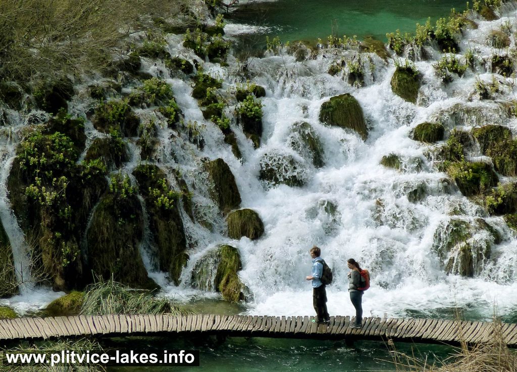
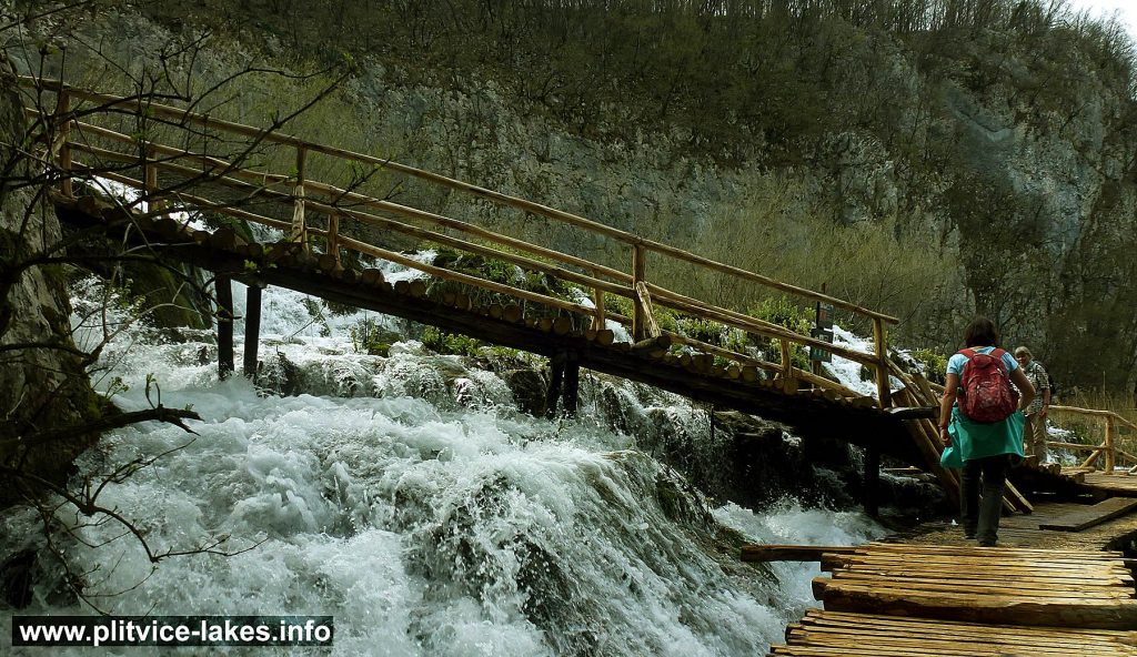
Here are some photos of my last walk in the Park:
- Walking along Cascades at Plitvice
- Easy Hike along Plitvice Lakes
- Hiking along peaceful Lake @ Plitvice
- Crossing waterfalls at Plitvice Lakes
Click on above images to see large photos


