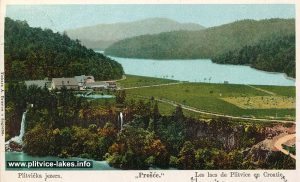
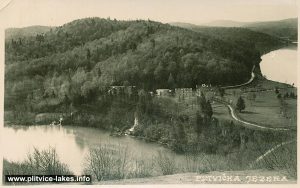
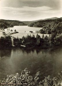
Proscansko Lake (Prošćansko Jezero)
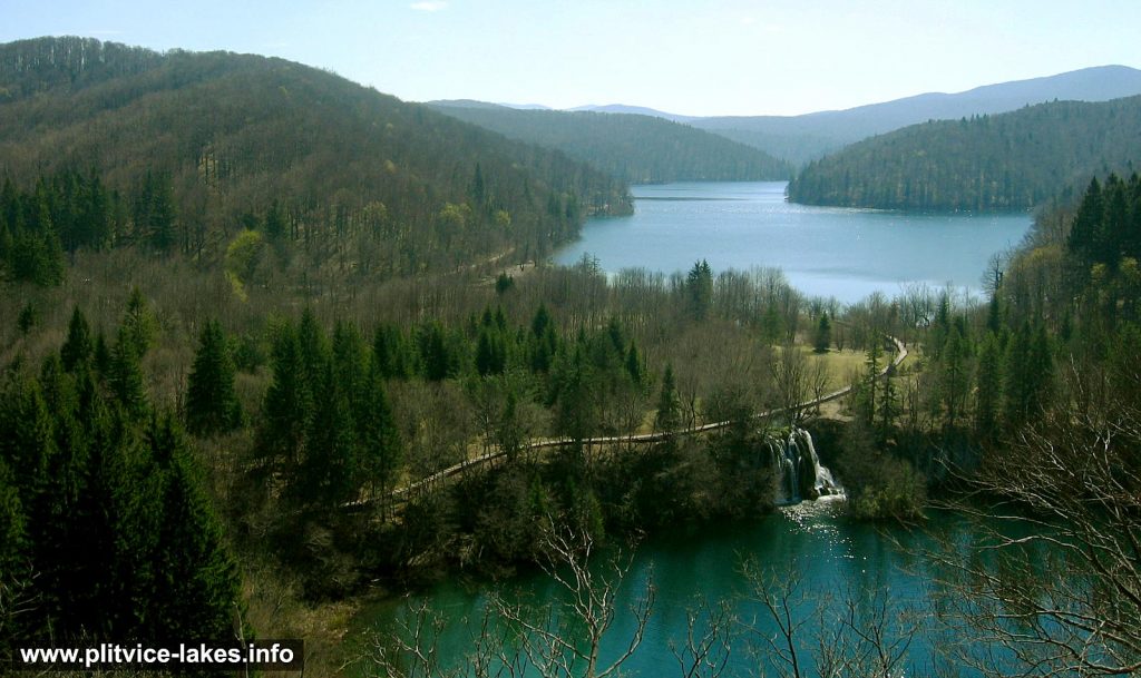
Prošćansko Jezero (Prošćansko Lake) is the first and highest lake, located on an altitude of 638 meters above the sea level. It is also the second-largest lake in the whole lake system.
It covers the total area of 68 hectares with a depth of 37 meters. The length of the lake is 2,1 kilometres while the width is between 180 and 400 meters. The lake belongs to the group of Plitvice Upper Lakes. Prošćansko got its name after ‘prošće‘ which in Croatian means ‘sticks‘.
Due to its width and depth, the water has a dark green colour. Mild elevations around the lake are covered with high coniferous and deciduous forests while, according to the seasons, the reflections on the water surface reflects the colours of the leaves. (see autumn and spring in the lakes)
Prošćansko is fed by waters from Crna and Bijela streams, the main confluent of Matica river, forming 900 meters long Liman Draga (Liman bay). The left bank of the lake is a protected area where access is not allowed.
The end of the lake is formed as Labudovac plateau ending with Labudovac barrier and waterfall (see above photo), where waters flow down into Ciginovac and Okrugljak lakes.
Prošćansko cross-section:
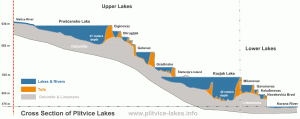
Click to see Proscansko cross-section on the lakes diagram
Popular Routes: Zagreb to Plitvice, Zadar to Plitvice, Split to Plitvice
See Proscansko location on an aerial photo
Location Map Prošćansko Lake:
Prošćansko GPS Coordinates:
44.860195,15.600659 / 44°51’36.7″N 15°36’02.4″E
Small photo gallery of Prošćansko jezero:
